America’s Newest National Park Has No Entrance Fee, No Passes to Buy and No Gas for 30 Miles
Chiricahua National Park charges nothing to get in. Here’s how to get there, which hikes to pick, when to go and what to bring.

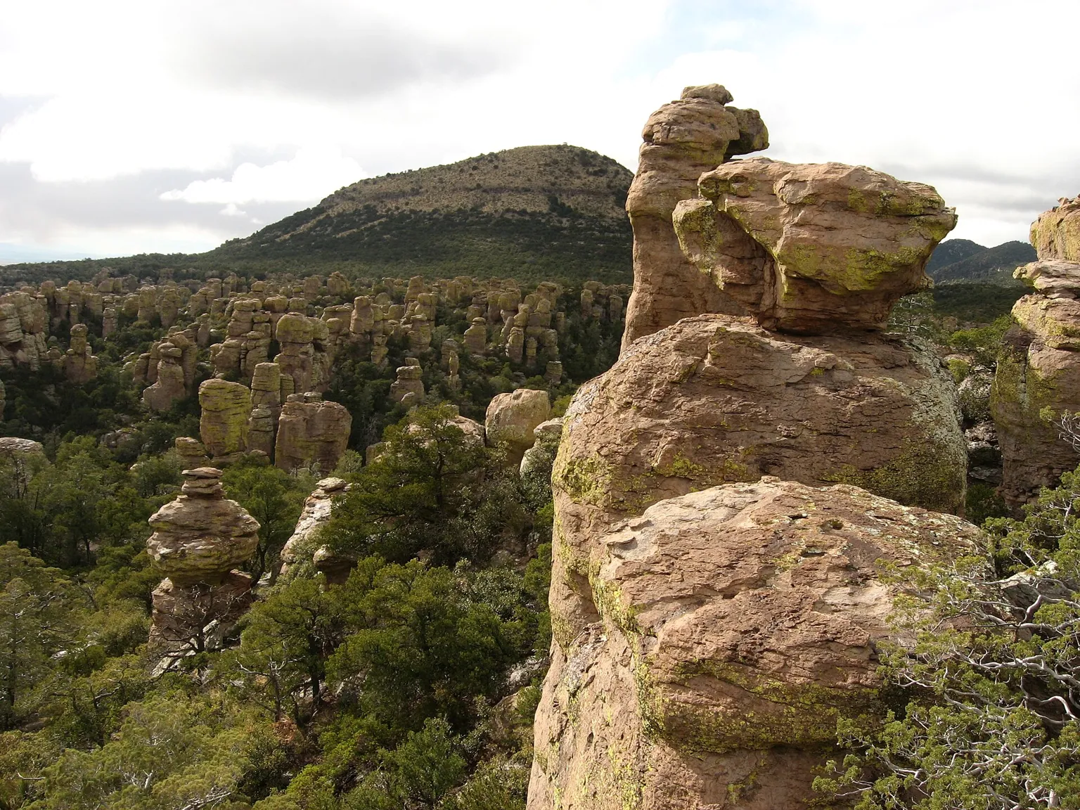
Chiricahua became America’s newest national park on October 20. The title is new. The price isn’t: the park has no entrance fees and no parking fees, and it doesn’t sell passes.1
What it does ask for is a little planning. Willcox and Sunizona are the last towns with gas and basic supplies, and the National Park Service puts gas, groceries, ice and EV charging 30 to 40 miles from the park.2 About 70,000 people visited last year, and Interior Secretary Doug Burgum told reporters, “That number is going to go way up.”3
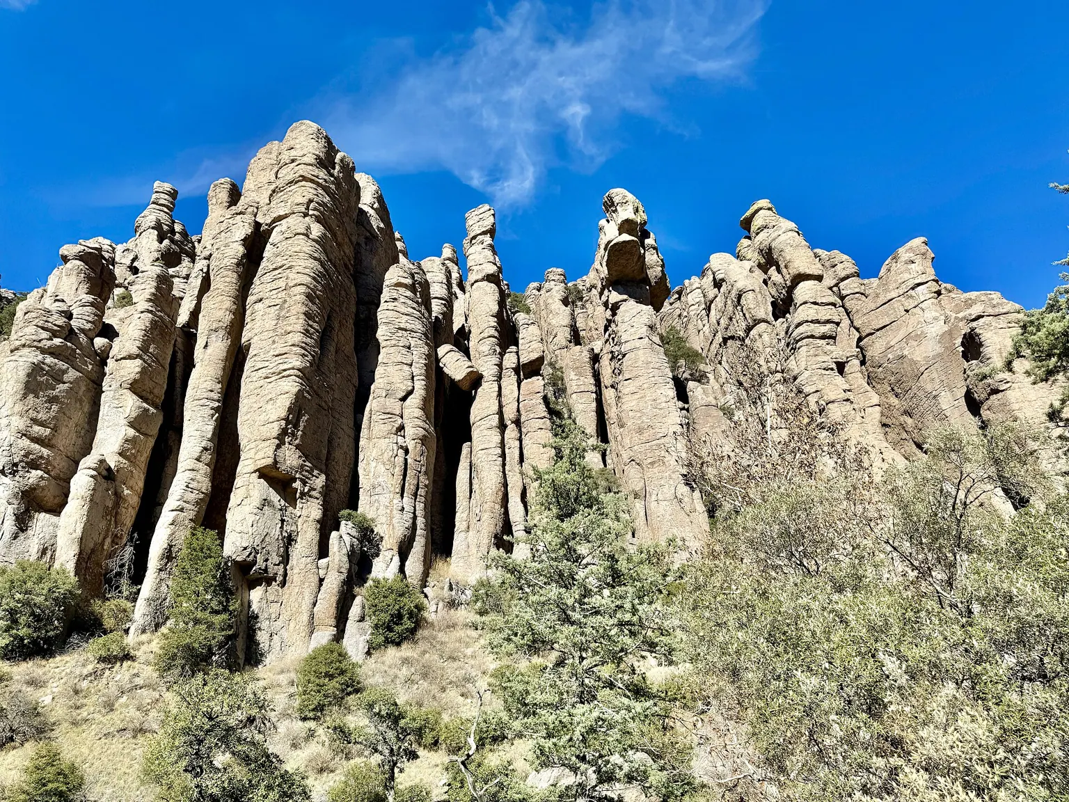
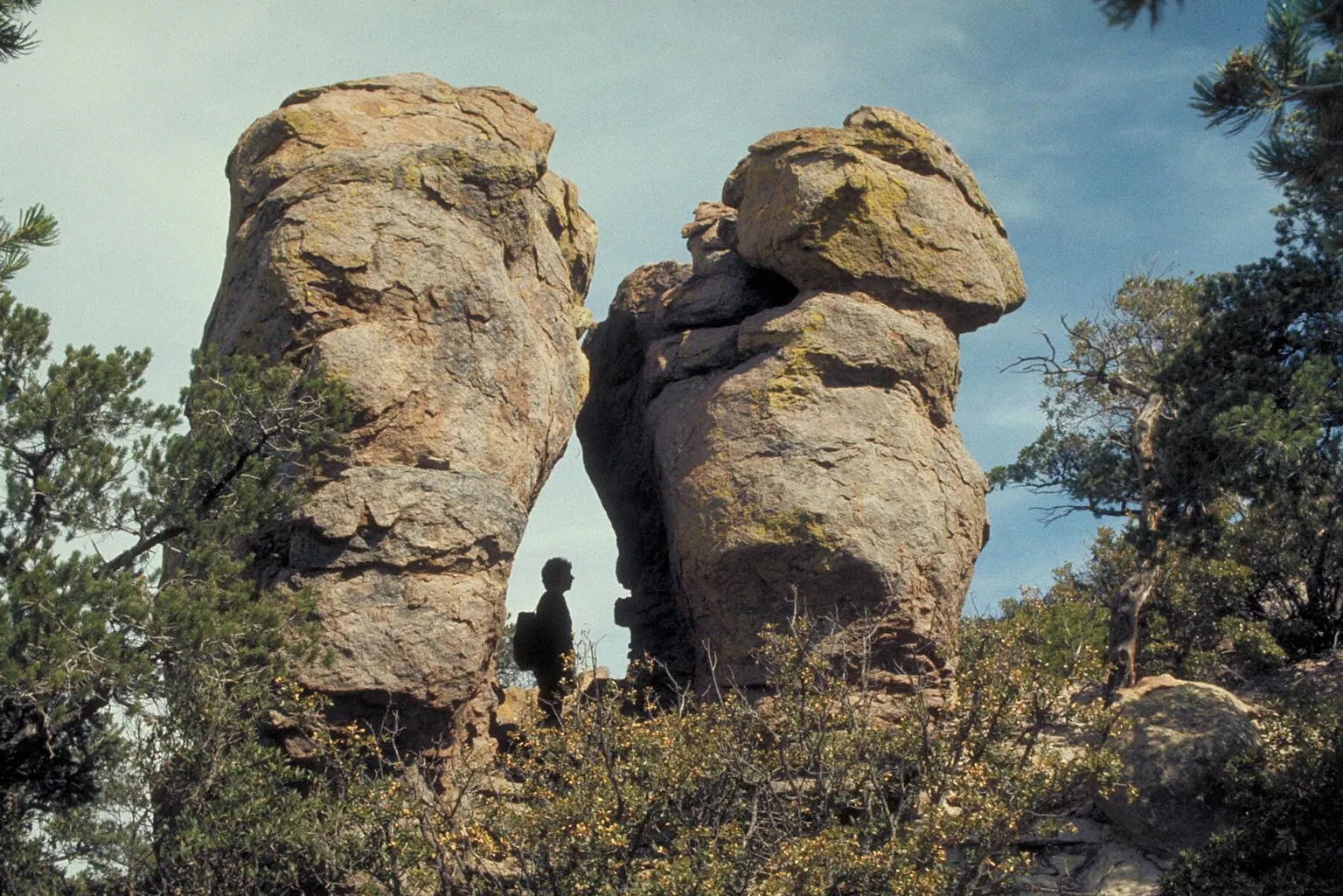
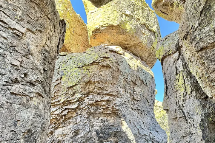
The draw is about 12,000 acres of towering rock spires and balanced rocks, left by a volcanic eruption roughly 27 million years ago.4 Here’s how to see them.
How to get to Chiricahua National Park
From Interstate 10, take Exit 336, 340 or 344 at Willcox and follow the brown signs to Highway 186 south. Stay on it for 32 miles, turn left on Highway 181, and the park is 4 miles straight ahead.2
From the southwest, Highway 181 runs about 26 miles from Sunizona. The Park Service says to stay on the pavement through several sharp turns.2 For GPS, use 13063 E Bonita Canyon Rd.5
Tucson has the nearest airport, about 120 miles away.26 Cell service tends to drop out near the park, so download your map before you leave town.5
The 8-mile scenic drive is off limits to trailers and to vehicles over 24 feet.57 Anything over 29 feet parks at Faraway Ranch.2
The best hikes, by how much time you have
These come from the park’s 2026 hiking guide. Its time estimates cover the whole round trip for an average to strong hiker.7
- A few minutes: Bonita Creek Loop is 0.2 miles, level, paved and accessible. Massai Point Nature Trail is a 0.5-mile loop around the parking lot.
- Under two hours: Echo Canyon to Beyond Grotto is 1.2 miles round trip, with balanced rocks and a tunnel-like formation. Turn back at the window and switchbacks.
- Two to four hours: Echo Canyon Loop is 3.3 miles with 560 feet of elevation. The guide says to hike it counterclockwise for the best rock views. Sugarloaf Peak is 1.8 miles round trip, a short, steep climb to the park’s highest point and a historic fire lookout.
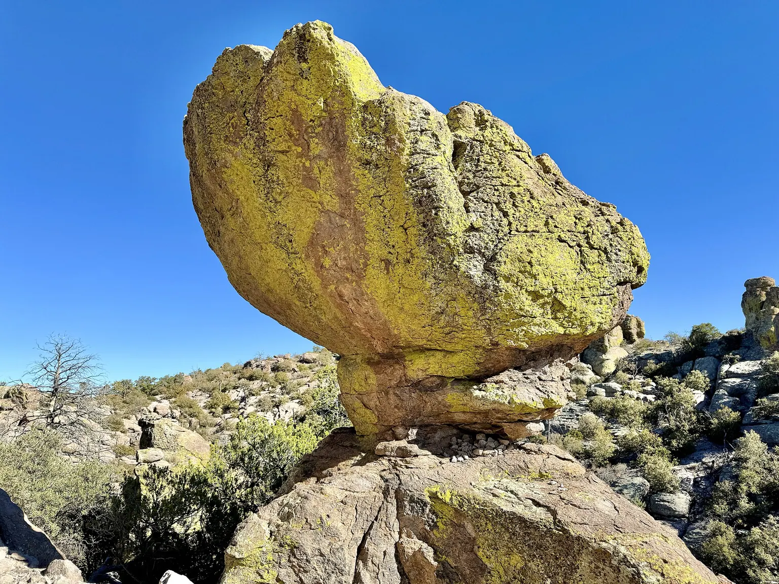
- Four to six hours: Heart of the Rocks from Echo Canyon is 7.4 miles round trip with more than 1,000 feet of elevation, past Mushroom Rock and Big Balanced Rock.
If heights bother you, note that the guide flags some trails as not recommended, especially Hailstone, which is part of the Echo Canyon Loop.7
The park has offered a morning hiker’s shuttle on weekends in busy winter months, subject to staffing and weather, but its visitor page says it wasn’t running as of fall 2025. Check the park calendar before you count on it.58
When to go
Each season comes with its own catch. Monsoon season runs June 15 to September 30, and flash floods can briefly close Highway 186. Winter weather runs November through April. Fire restrictions often limit use in April, May and June.9
Spring is the driest stretch, and the campground often fills around spring break in March and April.10
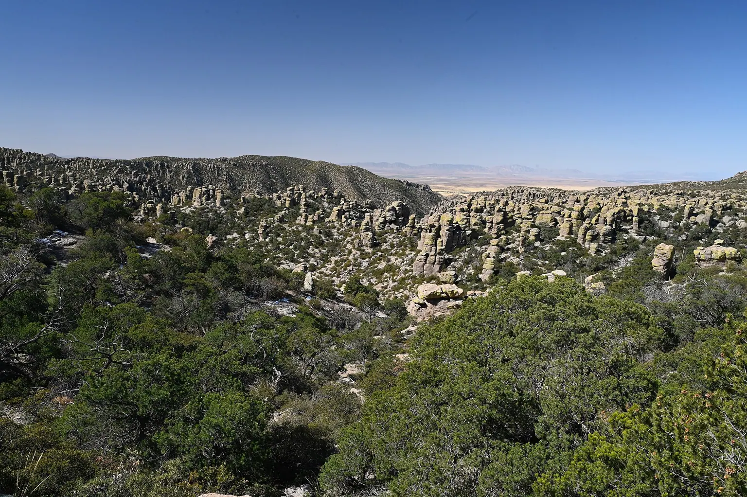
Camping at Bonita Canyon Campground
Bonita Canyon is the park’s small, primitive campground, with 23 sites, flush toilets and water, but no showers or electric hookups. Reservations go through Recreation.gov, and vehicles must be under 29 feet, racks included.710
Sites have stand-up grills, and ground fires aren’t allowed.10 Sleeping elsewhere in the park isn’t an option: the guide says it’s permitted only in the campground.7
Stay for the stars
Chiricahua was named a Dark Sky Park in 2021. The hiking guide points stargazers to open parking areas such as Faraway Ranch or Bonita Creek, and says the first stars may show on the horizon from Echo Canyon or Massai Point.7 It also warns that animals are especially active at night, so drive with care.7
Before you go
- Pack for altitude. The visitor center sits at 5,400 feet, and the park says to bring plenty of water, electrolytes, salty snacks and sun protection.78 The guide adds a paper map.7
- Leave these at home. Trails don’t allow drones, bicycles or e-bikes, and climbing is prohibited.78
- Dogs have limits. Leashed dogs are allowed on Bonita Creek, Silver Spur Meadow and the campground connector trail, plus parking lots, but not on other trails.7
- Call ahead. The park’s phone is staffed 8:30 a.m. to 4:30 p.m. daily at 520-824-3560.5
The neighboring Coronado National Forest isn’t run by the Park Service, and some of its areas may charge fees.1 The free part stops at the park line.
Did this make your day? Give it a cheer.
Sources
- Fees & Passes National Park Service (Chiricahua NP), 2026-10-21
- Directions National Park Service (Chiricahua NP)
- Chiricahua National Monument officially named country’s newest national park KOLD News 13, 2026-10-21
- Chiricahua National Monument Becomes America’s Newest National Park National Park Service (Chiricahua NP), 2026-10-20
- Basic Information National Park Service (Chiricahua NP)
- This ‘hidden gem’ in Arizona just became America’s newest national park Deseret News, 2026-10-21
- 2026 Park Hiking Guide National Park Service (Chiricahua NP), 2026
- Hiking National Park Service (Chiricahua NP)
- Current Conditions National Park Service (Chiricahua NP), 2026-10-21
- Bonita Canyon Campground National Park Service (Chiricahua NP)